

ขั้นตอนปฏิบัติ
เพื่อให้ผู้มาขอให้บริการเข้าใจขั้นตอนต่างๆ ในการขอรับบริการงานบริหารงานวิจัยจึงได้รวบรวมขั้นตอนการทำงาน (Workflow) ไว้สำหรับทุกท่าน
ดูขั้นตอนต่างๆ ในการขอรับบริการ
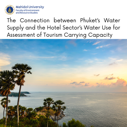
โดย รศ.ดร.กฤตณะ พฤกษากร, ดร.ธัญภัทร ศาสตระบุรุษ, ดร.ชิษณุพงศ์ ประทุม
Source: Sustainability; Volume 16; Issue 2; Jan 2024
>> Paper Link <<
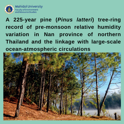
รศ.ดร. นาฏสุดา ภูมิจำนงค์
Keywords
El Niño–Southern Oscillation (ENSO), Thailand, Pinus latteri, Tree rings, Relative humidity reconstruction, Climate change
Source: Global and Planetary Change, Volume 230
Article number 104277, Nov 2023
>> Full paper <<
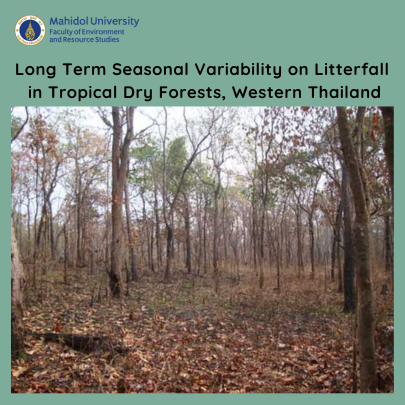
รศ.ดร. สุระ พัฒนเกียรติ
Source: Journals Forests, Volume 14, Issue 10
>> Full Paper <<
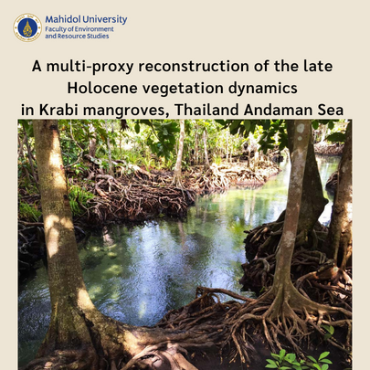
รศ.ดร.นาฎสุดา ภูมิจำนงค์, ผศ.ดร.ปรมิตา พันธ์วงศ์, ผศ.ดร.มณฑิรา ยุติธรรม
Source: Quaternary Science Advances, Volume 13, January 2024
Keywords: Pollen analysis, Charcoal analysis, Sea-level changes, Coastal changes, Malay-Thai peninsula
>> Full paper Click <<
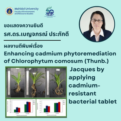
รศ.ดร.เบญจภรณ์ ประภักดี
Source: Environmental Science and Pollution Research
Volume 30, Issue 58, December 2023
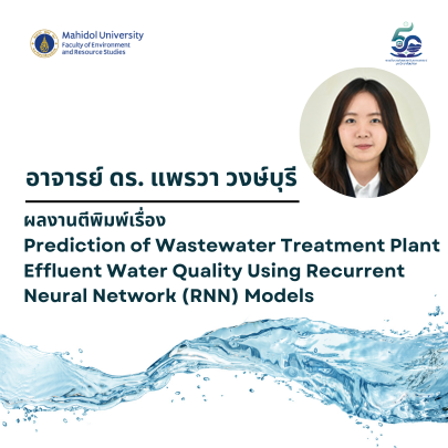
อาจารย์ ดร. แพรวา วงษ์บุรี
Wastewater Engineering: Wastewater Treatment Methods and Technologies
Source: Water (Switzerland)
Volume 15, Issue 19, 2023
https://www.mdpi.com/2073-4441/15/19/3325
