• +662 441 5000
  • This email address is being protected from spambots. You need JavaScript enabled to view it.
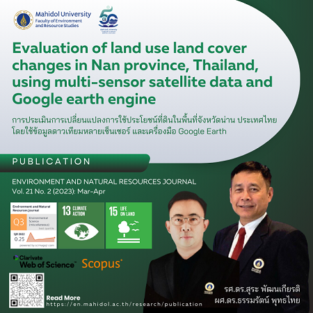
การประเมินการเปลี่ยนแปลงการใช้ประโยชน์ที่ดินในพื้นที่จังหวัดน่าน ประเทศไทย โดยใช้ข้อมูลดาวเทียมหลายเซ็นเซอร์ และเครื่องมือ Google Earth

การประเมินการเปลี่ยนแปลงการใช้ประโยชน์ที่ดินในพื้นที่จังหวัดน่าน ประเทศไทย โดยใช้ข้อมูลดาวเทียมหลายเซ็นเซอร์ และเครื่องมือ Google Earth

Evaluation of land use land cover changes in Nan province, Thailand, using multi-sensor satellite data and Google Earth engine

รศ.ดร.สุระ พัฒนเกียรติ

ผศ.ดร.ธรรมรัตน์ พุทธไทย

Keywords:  Random forest Synthetic Aperture Radar Change detection Google Earth Engine Land management policy

Source: ENVIRONMENT AND NATURAL RESOURCES JOURNAL Vol. 21 No. 2 (2023): Mar-Apr

อ่านบทความฉบับเต็มได้ที่ >>  https://ph02.tci-thaijo.org/index.php/ennrj/article/view/248525


© 2026 Faculty of Environment and Resource Studies, Mahidol University . All Rights Reserved.